
Monitoring Populations using Point Count Surveys
An extensive system of roadside and offroad point count stations was established in 2009 to provide a base index of relative abundance and distribution of breeding avifauna within the study area. All stations were visited once between June 1-June 25, the period of peak activity for most breeding bird species of the region. Each point count survey is conducted from a fixed location (termed station) identified by UTM (NAD83) and a written description in field notes. All birds were recorded by sight and sound during specified time intervals (0-3min, 3-5min and 5-10min) and distance from centre of station (0-50m, 5-100m and >100m). All stations were visited within four hours after sunrise and were reached on foot from appropriate access points (offroad stations) or by vehicle along roadways (roadside stations). This protocol was adopted to portray bird populations given both the landscape characteristics and project objectives while still complimenting other regional and continental standards (e.g. Ontario Breeding Bird Atlas, Breeding Bird Survey, Forest Bird Monitoring Program).
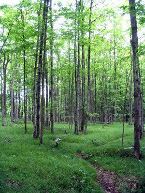
A total of 71 offroad stations are distributed throughout Frontenac Provincial Park and another 101 stations are situated along tertiary roads outside of park boundaries. Starting points and routes for offroad surveys were established using a stratified random sampling strategy based on primary habitat types (Mature Maple-Oak, Mixed Deciduous, Rock Scrub Barrens and Young Maple/Ironwood). The limitations of time and available staff dictated that surveys within the park be organized into routes of 8-12 stations, spaced by 330m. This would allow a route to be completed on foot in under four hours, covering a distance of nearly 4 km. The methodology for the roadside point counts completed in 2009 was the same as for the offroad counts with the exception of spacing between stations along routes. Offroad stations were spaced at a minimum of 330m intervals while roadside stations were spaced at a minimum of 500m intervals.

.
